
Add Your Heading Text Here Random blog post about something relevant ssdsdsd sdsdsd
With a proven track record across multiple industries, Delta Scan has earned the confidence of engineering firms, infrastructure managers, and project stakeholders who require accuracy, reliability, and accountability. Our consistent delivery of precise data and dependable insights has made us a trusted partner on projects where quality is non-negotiable.
Delta Scan combines advanced capture technology with structured data delivery to give teams clear, reliable insight into complex environments. Our tools and workflows are designed to improve visibility, reduce uncertainty, and support confident decision-making at every stage of a project.
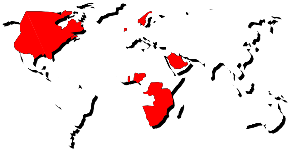
We serve asset owners, engineering firms, industrial facilities, and mining operations globally. With over 400 completed projects, 17,000+ hours of processing logged, and 80,000+ hours of client downtime saved, we exist to give engineers and asset managers the data and confidence to make fully informed decisions.


Delta Scan combines advanced capture technology with structured data delivery to give teams clear, reliable insight into complex environments. Our tools and workflows are designed to improve visibility, reduce uncertainty, and support confident decision-making at every stage of a project.
All project data is stored, managed, and shared through the DeltaCloud environment – giving stakeholders secure, centralised access to scans, models, reports, and documentation from anywhere. This ensures version control, streamlined collaboration, and long-term data integrity.
From initial capture to final delivery, Delta Scan provides clear insight into asset conditions, site constraints, and project risks. This level of visibility helps reduce surprises, improve coordination between stakeholders, and keep projects on time and within budget.
We transform physical spaces into accurate digital environments that teams can explore, measure, and analyse in a visual 3D workspace. This makes complex structures easier to understand, reduces misinterpretation, and improves planning and decision-making across teams.
Our capture methods and workflows are designed to produce precise, defensible data suitable for engineering assessments, compliance reporting, and technical planning. Clients can make high-value decisions with confidence, backed by verified information.
Delta Scan delivers specialised digital data services that support accurate assessments, informed planning, and efficient project execution across complex environments.
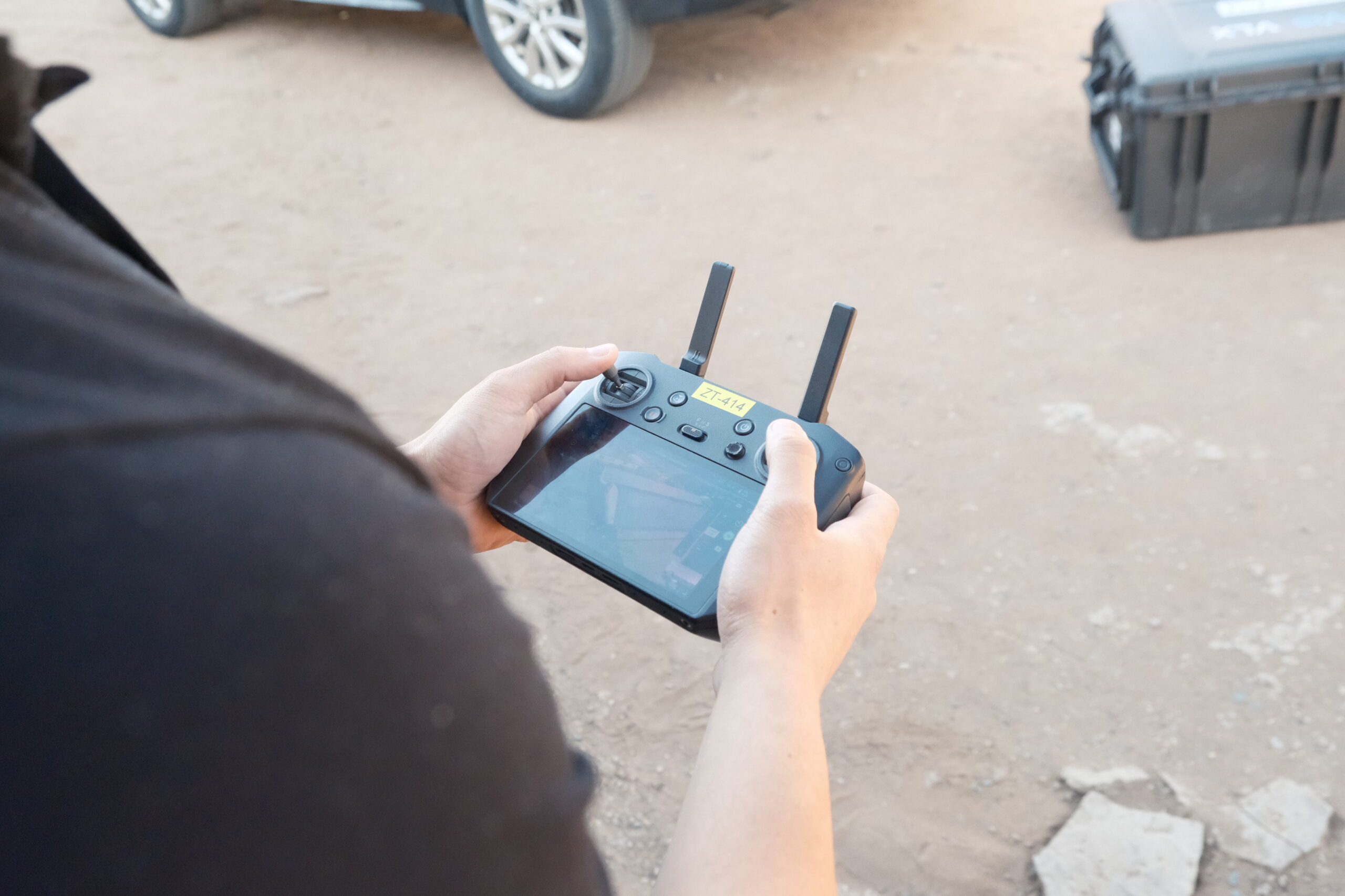
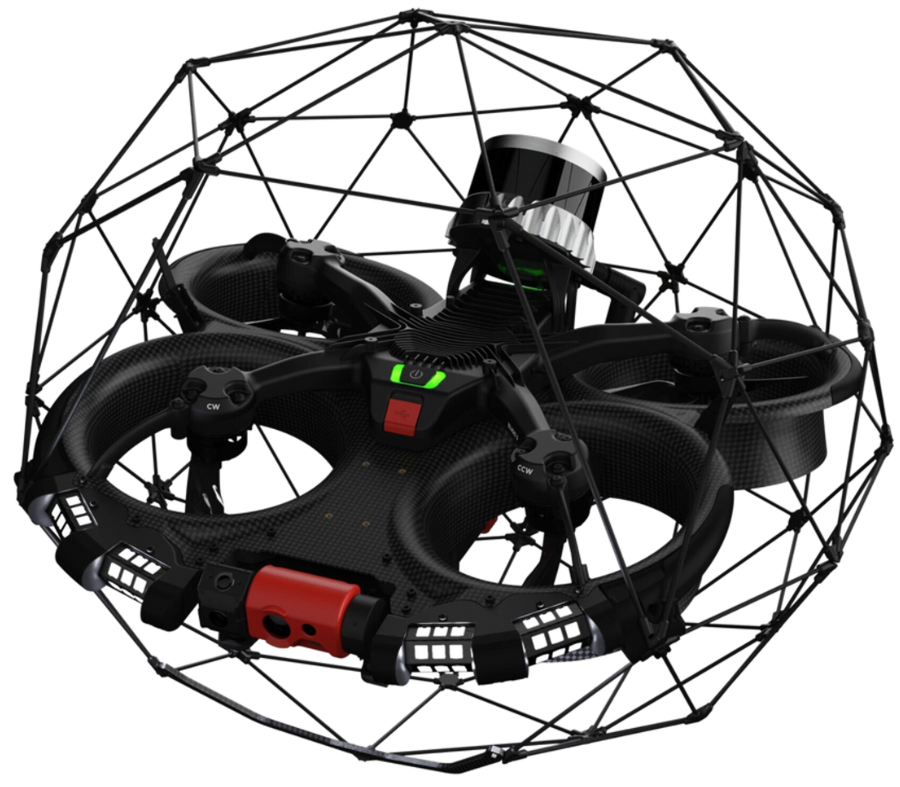
Leveraging UAVs, advanced camera systems, and hybrid AI defect detection, Delta Scan inspects structures in a fraction of the time conventional methods require — with minimal disruption to operations. Where most providers deliver a thick document of isolated photographs, we deliver a comprehensive, data driven engineering assessment complete with advised repair methodologies, accurate material quantification, and internal structural compliance reporting. From silos and cooling towers to smoke stacks, bridges, and industrial infrastructure, we cover the full spectrum of civil and commercial assets, inside and out.
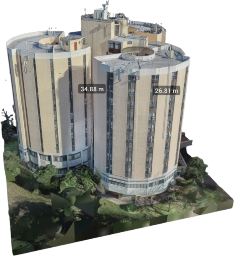
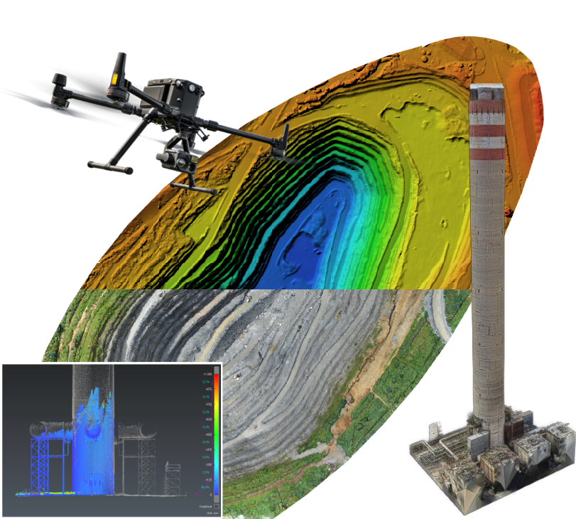
Using a multi-sensor approach combining UAV photogrammetry, terrestrial LiDAR, and SLAM mapping, Delta Scan captures complete spatial data for both external and internal environments — selecting the right tool for every application. We convert raw point cloud data into fully referenced CAD and BIM models in Revit and AutoCAD, outputting to any compatible format. Deliverables support as-built documentation, clash detection, deflection and deformation assessments, architectural layouts, and council submissions. An in house architectural team handles any drawing-specific requirements for formal submissions.

Delta Scan operates a worldwide network of over 100 expert data collection partners, deploying everything from multirotor UAVs for smaller sites to large scale fixed-wing drones for expansive areas. RTK and PPK systems are used to reduce the need for ground control points and minimise time on site. Deliverables span orthomosaics, digital terrain models (DTMs), digital elevation models (DEMs), digital surface models (DSMs), topographical surveys, LiDAR surveys, 3D point cloud and mesh models, and bathymetric surveys. All surveys are signed off by SAGI-approved, professionally registered surveyors.
See how organisations across infrastructure, engineering, and industrial sectors have partnered with Delta Scan to improve accuracy, reduce risk, and deliver projects with greater confidence.
Delta Scan provided exceptional service in processing my large image photogrammetry data. The MD, an experienced Structural Engineer, demonstrated profound expertise in Surveying, Engineering , GIS, and photogrammetry. The company's impressive array of equipment and drones, including the Elios 3, ensured accurate and efficient results. Overall, a highly recommended engineering partner.
Darryl and his team are leading the market in their craft. The technology used and their attention to detail sets them ahead of anyone else in the industry!
I highly recommend Delta Scan (Pty) Ltd as an engineering partner. If you require services in Surveying, Engineering, GIS, or photogrammetry, their team's proficiency and the utilization of advanced technology make them a standout choice. The combination of exceptional service, technological prowess, and a skilled team positions Delta Scan as a reliable partner for projects demanding precision and expertise.
As industry leaders, we provide monthly insights into all things in the engineering niche both in South Africa and globally.
Add Your Heading Text Here Random blog post about something relevant ssdsdsd sdsdsd
Speak with our team about your project requirements, timelines, and objectives. We’ll help you determine the best approach and provide the accurate data you need to move forward with confidence.
© 2025 Created by Mustard Seed Agency
